|
Printables |
PowerPoints |
Online exercises |
|
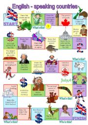
English-speaking countries board game
This board game helps to revise the general info about the English-speaking countries in an enjoyable way. Each colour corresponds to a particular country (yellow squares - questions about Australia, green squares - the USA, purple squares - the UK, pink squares - Canada, blue squares - New Zealand).
ANSWERS:
Australia: Canberra - aborigines - pl...
Level: intermediate
Age: 13-17
Type: worksheet
Downloads: 702
|
|
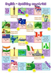
English-speaking countries board game 2
Maps, flags, capitals, landmarks of the UK, the USA, Canada, Australia, New Zealand, Ireland, India.
Level: intermediate
Age: 12-17
Type: worksheet
Downloads: 244
|
|
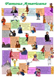
Famous Americans board game
With the help of this board game the students revise the names of outstanding Americans (there are presidents, famous women, singers, sportsmen, pioneers, explorers, inventors, Native Americans).
Level: intermediate
Age: 12-17
Type: worksheet
Downloads: 204
|
|
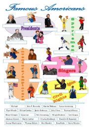
Famous Americans-label the pictures
The students label the pictures of famous Americans (a cut-and-paste activity) and prepare a report about the person they admire.
Level: intermediate
Age: 12-17
Type: worksheet
Downloads: 82
|
|
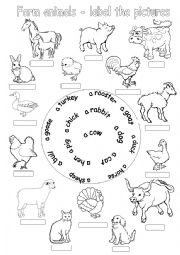
Farm animals-label the pictures
The students label thepictures of far animals using the hints.
Level: elementary
Age: 7-10
Type: worksheet
Downloads: 108
|
|
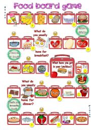
Food board game
The aim of this game is to practise vocabulary related to the topic �Food� and the structures �I, you, we they like/don�t like�, �He/she likes/doesn�t like�, �Do you/they like� , �Does he/she like?�. If the pupil lands on the picture, he/she just name the product (It�s a hamburger). If there is a smiling face, the pupil says that somebody likes tha...
Level: elementary
Age: 8-17
Type: worksheet
Downloads: 112
|
|
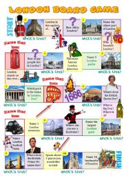
London board game
This board game helps to revise the names of London sights and the main facts about the British capital.
Level: elementary
Age: 10-17
Type: worksheet
Downloads: 353
|
|
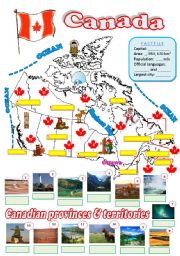
Map of Canada - 2 (fully editable)
The students are to fill in the map with the names of Canadian provinces and territories, their capitals, the names of the oceans and some info in the factfile.
Level: intermediate
Age: 12-17
Type: worksheet
Downloads: 301
|
|
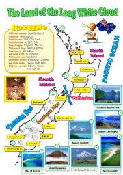
New Zealand map (reuploaded)
I decided to improve my map and added some pictures of the natural wonders (ofcourse I had to delete my previous document). Hope your students will like it. Laminate this map and display it in your classroom. BTW, I changed the map of Canada as well (if you�re interested in the better version, visit the 3rd page of my account).
Level: intermediate
Age: 12-17
Type: worksheet
Downloads: 282
|
|
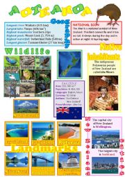
New Zealand wall poster
A fully editable wall poster with the basic info about New Zealand - its geography, wildlife, landmarks, native inhabitants, cities... Laminate it and display it in your classroom.
Level: elementary
Age: 10-14
Type: worksheet
Downloads: 141
|
|
|
|
|